
510 SW Fifth Ave. Suite 300, Portland, OR 97204 503-706-4204 * Panama City, Panamá * Accra, Ghana *
Smart Cities and drones


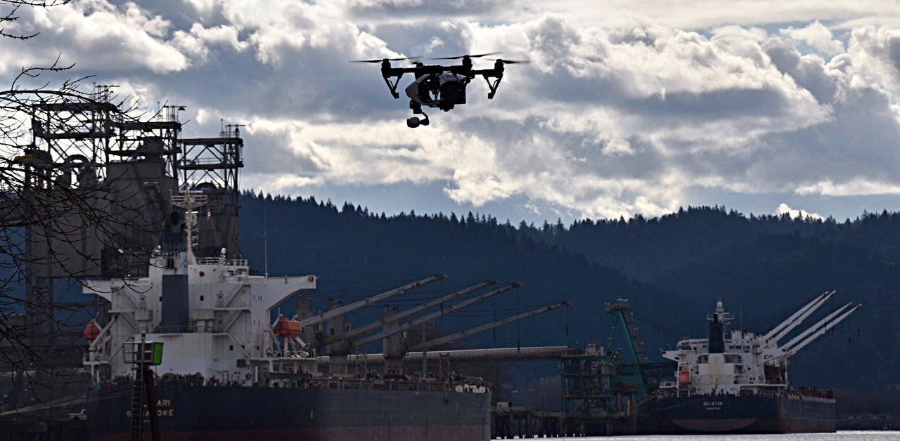
(Image credit: DroneDeploy)

Smart cities take advantage of every new and sustainable technology to improve the lives of their residents.
Drones are at the leading edge of smart cities technology to save energy, enhance community involvements, preserve green space, and build infrastructure that is responsive to the citizens. Smart cities around the world have identified best practices and uses for UAV/drones including:
* Geospatial mapping of urban areas
* 3D modeling
* Vegetative and plant health for green spaces, pollinator and avian habitat, and landscaping
* Construction and development
* Solar panel inspection and roof inspections
* Wind turbine inspection
* Energy audits for buildings and facilities
* Traffic control and management
* Air quality monitoring
* Security and surveillance
* Public affairs and communications
* Civic engagement
* Planning and environment
* Bridge and structure inspections
* Tourism
Case example: In Indonesia, Jakarta Smart City has a geospatial map of the city's over 1 million square meters of Gross Floor Area. JTC is examining the concept of "drones as service" to deploy video analytics for physical security and media analytics for traffic control.
Case example:Komatsu now uses drones in its Smart Construction venture. Drones will be deployed to conduct surveys and produce 3D models, culminating in love interactive maps of the job sites.
Case example: The Aspern Vienna Urban Lakeside project in Austria has a pilot project where drones collect data and use image processing software to visualize energy losses across entire neighborhoods. The data are presented as thermal maps making it easier to identify which buildings could be retrofitted for greater energy efficiency.